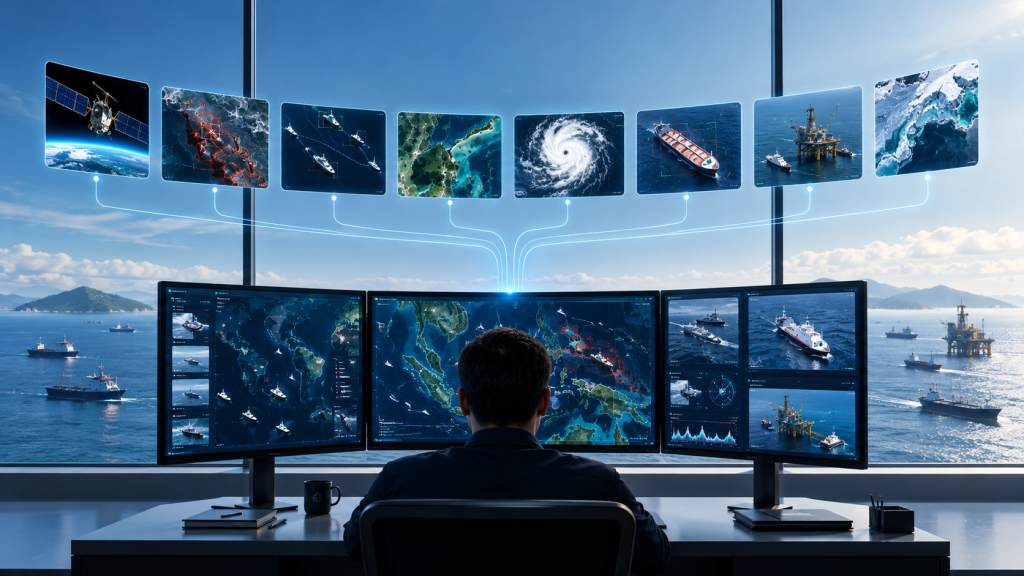
Marine Environmental Intelligence Monitor oil spills, analyze maritime activity, and accelerate offshore response with satellite-enabled geospatial intelligence. Detect. Understand. Respond.
What do we offer

Marine Satellite

Satellite Observation

Monitor vessels, coastlines, and offshore activities using satellite imagery and geospatial data.
Read more

Oil Detection & Classification

Detect, classify, and monitor potential oil spills to support faster maritime response.
Read more

Ocean & Weather Monitoring

Track waves, wind, currents, and weather conditions to support safer marine operations.
Read more

Route & Voyage Optimization

Optimize vessel routes using weather, ocean, and operational data for safer and more efficient voyages.
Read more
What do we offer

Know what’s moving. Before it matters.

Marine intelligent

Better situational awareness

Gain comprehensive visibility and turn raw data into context-rich, meaningful intelligence.

predictive outcomes

Faster decision cycles

Act proactive and with confidence with real-time, accurate and actionable operational data.

integrated dashboard

All you need. In one place.

Converge intelligence consumed from multiple sources into action with certainty.

Our Technology Partners

Our services

Comprehensive enterprise services & support

Go to Top